Mapping the Ocean’s Future
We build the most advanced small-class AUVs purpose-built for geophysical mapping and critical infrastructure, rapidly collecting and transforming raw data into precise, actionable intelligence via our cloud platform.
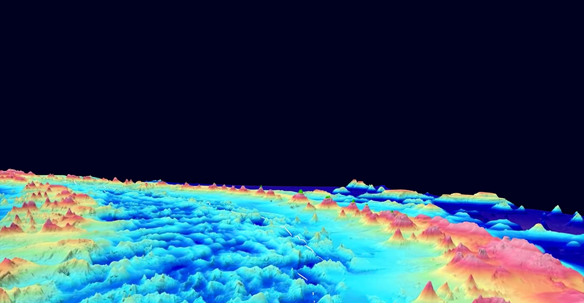
Bedrock’s Ocean Intelligence
Our vertically integrated approach – custom AUVs, proprietary sensors, and cloud-native platform - delivers mission-critical advantages
Faster Data
Gain insight and make decisions in minutes. Get high-resolution data in days, not weeks.
Any Vessel, Anywhere
Deploy in days, not weeks. Launch from any vessel, anywhere.
Rapid Deployment
Mobilize globally with minimal logistics and lead time.
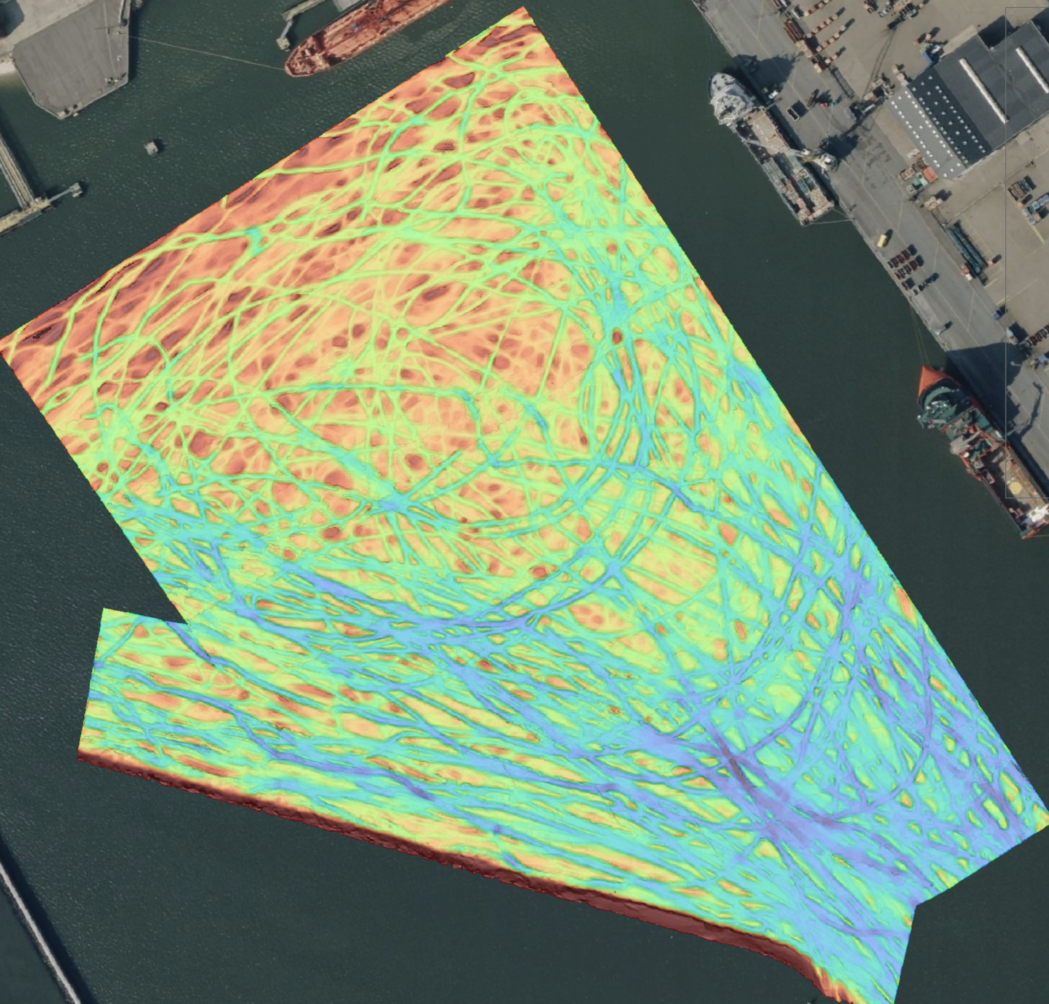
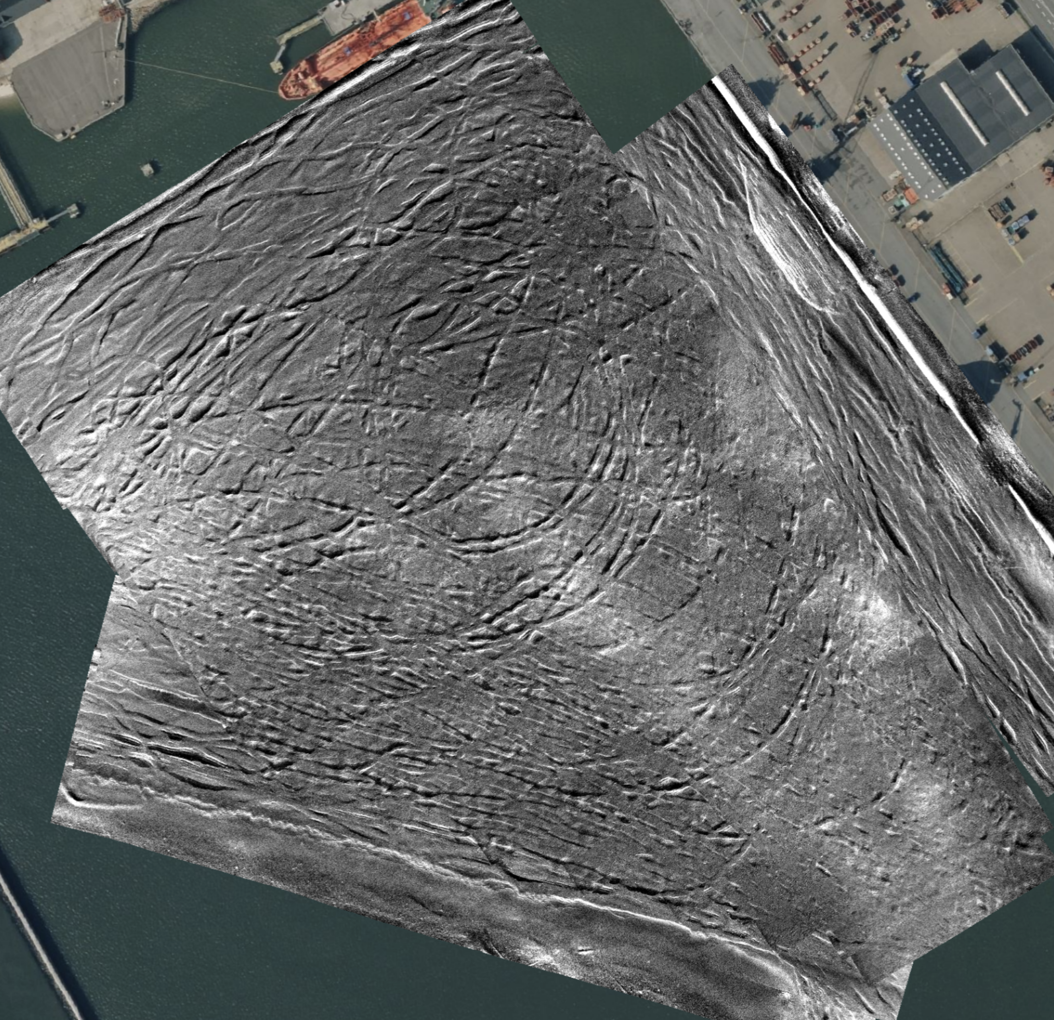
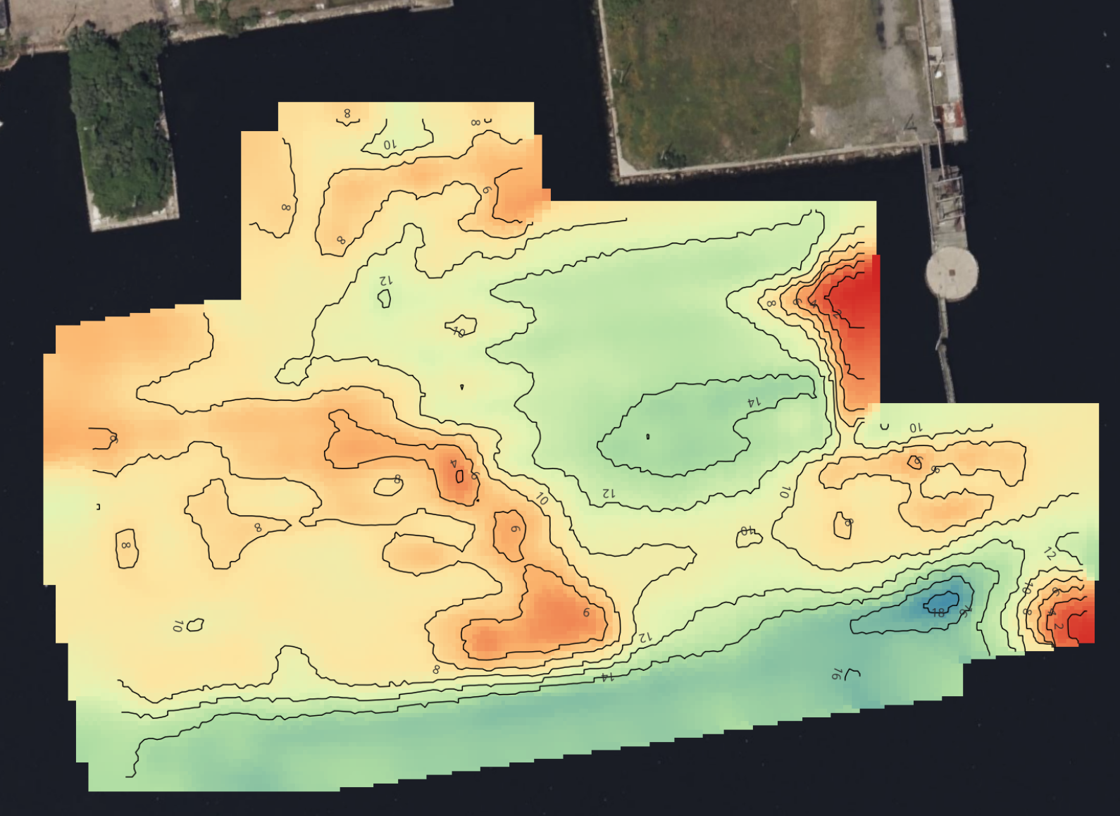
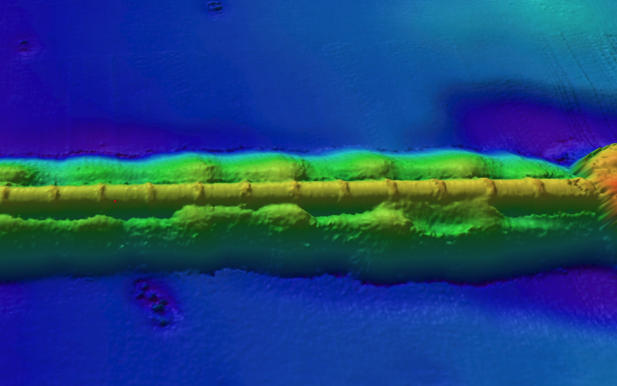
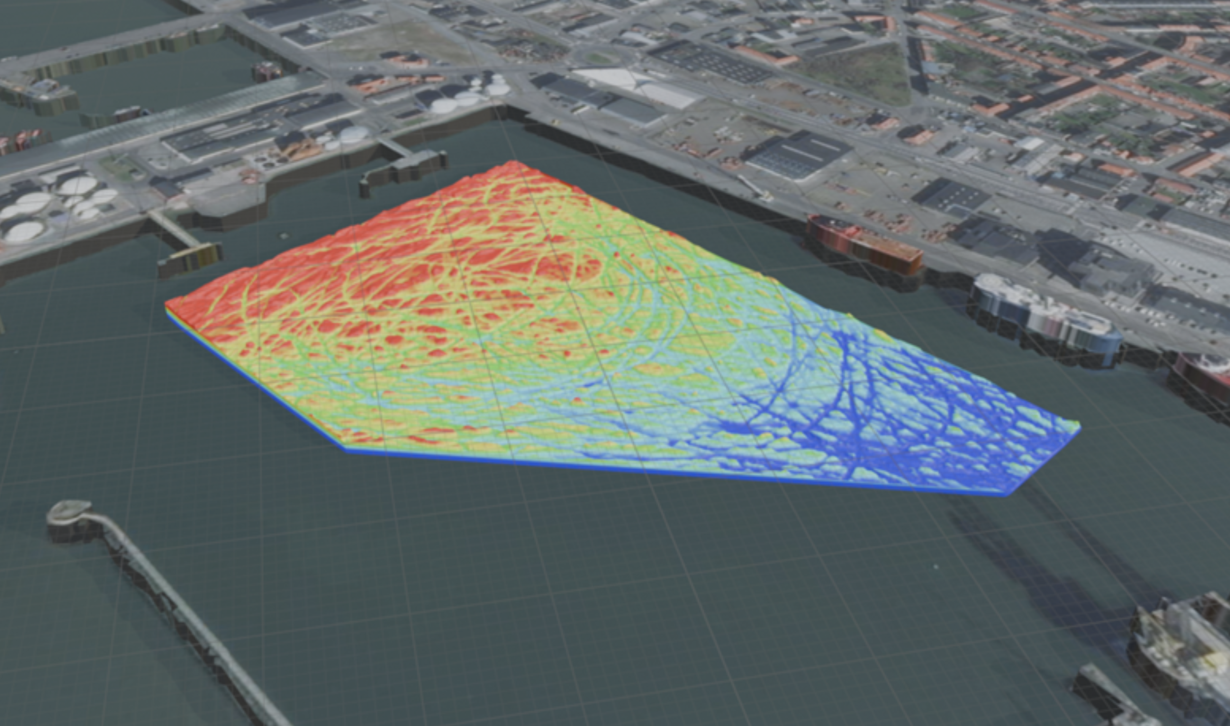
Bedrock delivers high resolution geophysical survey data that meets stringent IHO special order standards.
View our full technical specifications here


Multibeam Echosounder
MBES
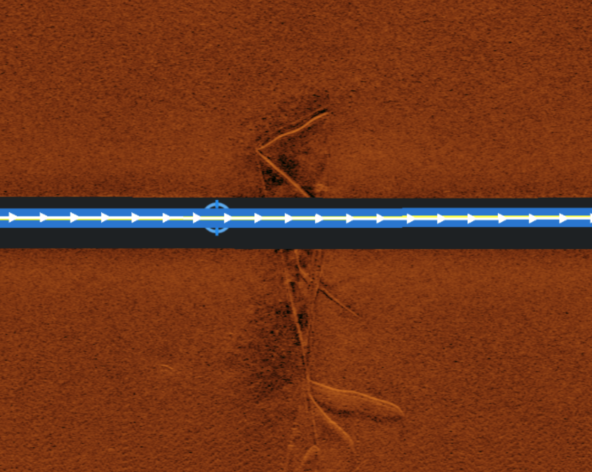
SSS
Side-Scan Sonar


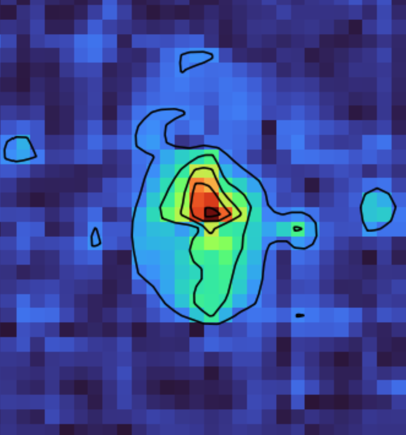
Magnetometer
MAG
SBP
Sub Bottom Profiler
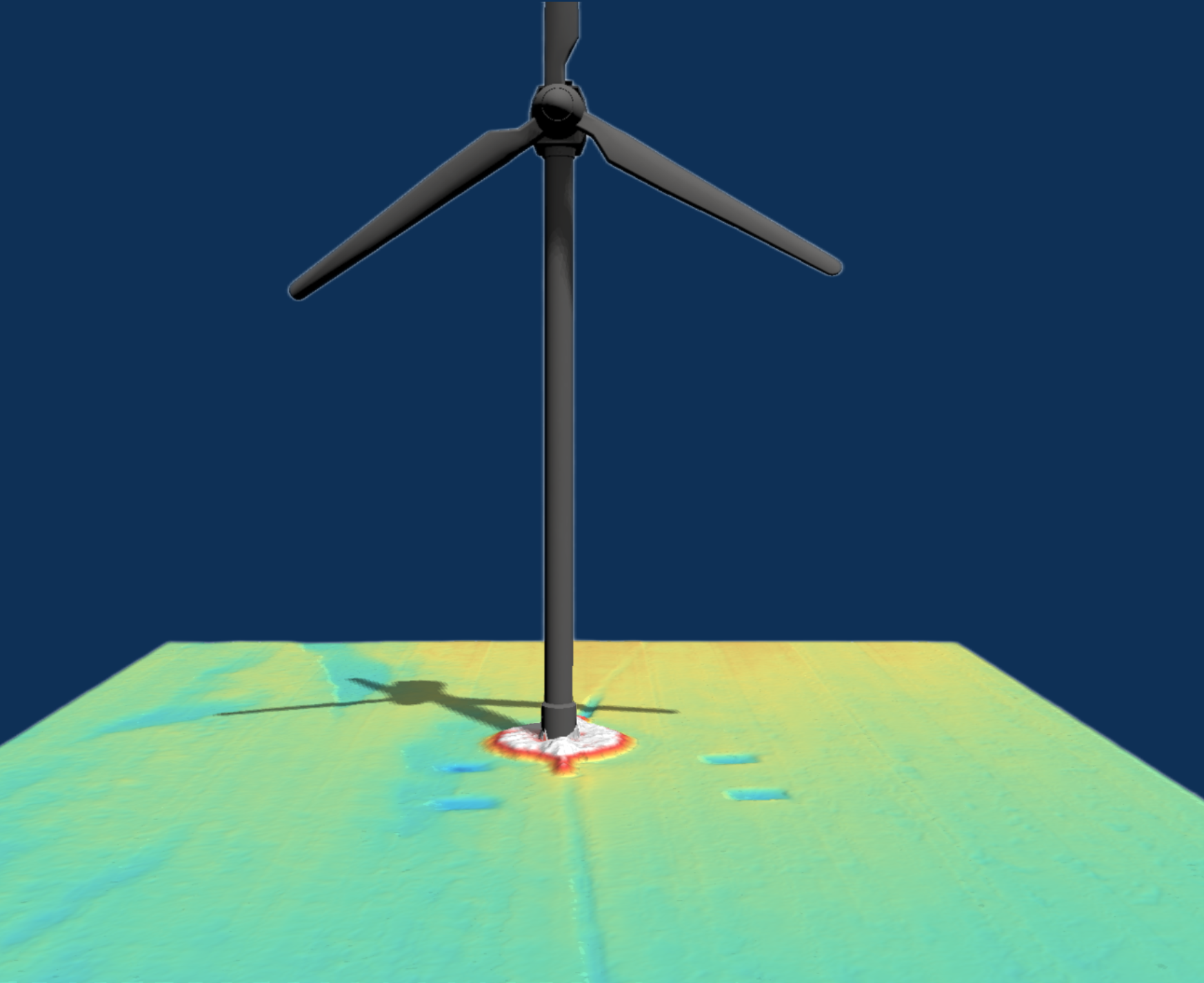
Solving Critical Infrastructure Challenges Across Maritime Industries
Bedrock provides maritime professionals with unparalleled ocean intelligence, delivering actionable insights for critical operations.
-
Optimize site characterization and cable routing with precise data.
-
Enhance navigational safety and safeguard critical infrastructure with continuous seabed intelligence.
-
Optimize pipeline integrity, monitor subsea assets effectively, and plan for decommissioning with accurate data.
-
Achieve superior marine domain awareness and conduct precise threat assessments using foundational seabed data.
-
Streamline submarine cable route surveys and conduct robust risk assessments.
-
Accelerate scientific discovery and validate models with high-resolution seabed mapping.
Understanding our oceans is essential to sustaining life on Earth. We've built the technology to make ocean data accessible to anyone, anywhere.